There are no products listed under this category.
Aerial Mapping
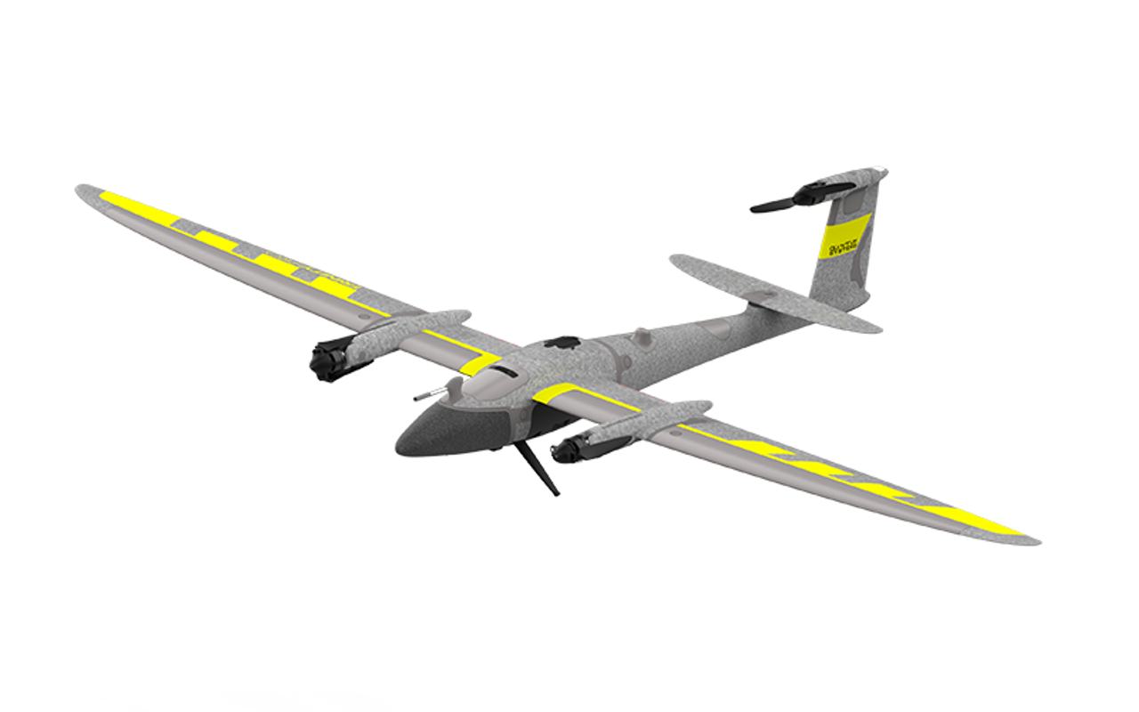
Explore GeoNetworking.com's aerial mapping category for professional-grade drones, LiDAR systems, and imaging software. Equip your projects with precision technology for surveying, construction, and GIS applications.


