

There are no products listed under this category.
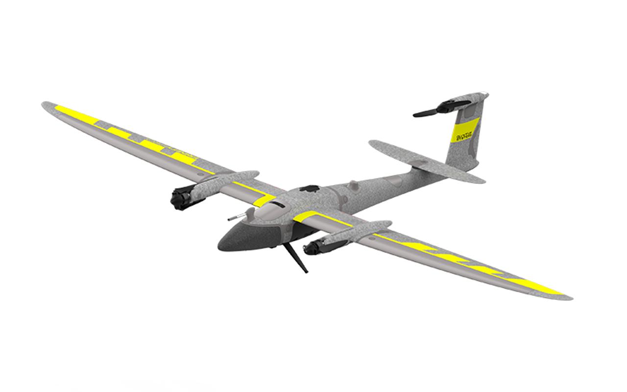
Aerial Mapping
Capture precise geospatial data with our advanced aerial mapping systems. GeoNetworking offers UAV drones, LiDAR sensors, and photogrammetry solutions tailored for professionals in surveying, construction, and GIS applications. Our aerial mapping technology enables fast, accurate, and high-resolution data collection from above—ideal for terrain modeling, infrastructure inspection, and environmental analysis.